Ciao ciao ciao,
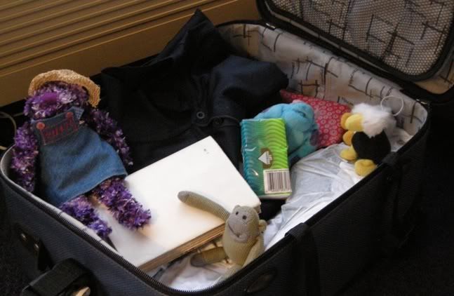
as anticipated in the last update, this week we all went with Smaug to Campbell River on Vancouver Island  , where he was working for a few days. Unfortunately his carry on baggage was filled by the laptop and other work stuff, so we were forced to fly in the checked baggage, how uncomfortable, oooh
After a couple of boring days at the hotel we had a chance to explore the place. First we walked north of the town along the narrow bit of land (called the Tyee Spit) that separates the actual river called Campbell River from the Discovery Passage. The Passage divides Vancouver Island from Quadra Island and is the main route for cruise ships sailing to and from Alaska.
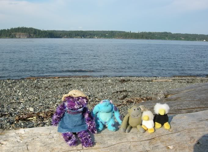
Here we are resting on some driftwood with the Discovery Passage and Quadra Island behind us.
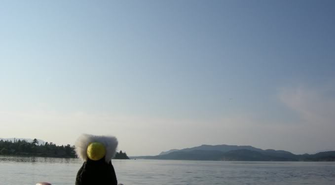
Here I am at the very end of the Spit with the Discovery Passage on my left and Campbell Rivers mouth on my right.
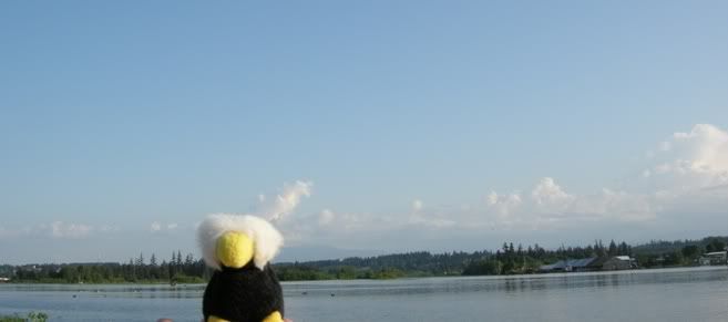
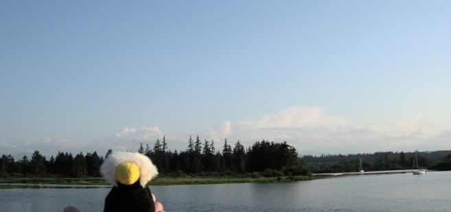
And here are another couple of pictures looking upstream along Campbell River.
Going north a few km, the Passage becomes very narrow and near its narrowest point there used to be an underwater island (called Ripple Rock) that in low tides claimed lot of ships and lives in the past. This navigation hazard was removed in 1958: putting there some warning signs might have been a simple and effective idea, but an even more effective solution was chosen and the whole top of the underwater island was blasted off in one of the biggest non-nuclear explosions in history 
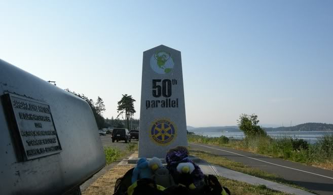
On our last evening here we explored the southern bit of the town. As you can see the 50th parallel passes here, how cool 
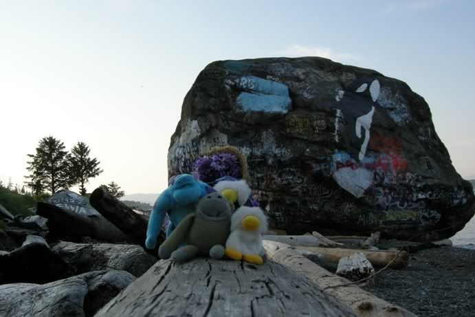
And just south of the 50th parallel there is this big painted rock on the beach just within the high tide line. It is actually called (you would never think of that!): Big Rock  It is supposed to be some remnants of the ice age, but one legend has it that it is a boastful grizzly bear turned to stone after not heeding the Great Spirits advice and just failing to complete his attempt to jump from the mainland to Vancouver Island. The tide was high and his back paw touched the water and, as the Great Spirit warned, the bear turned to stone. By the way, grizzly bears are plentiful along the mainland coastal inlets but none are found on Vancouver Island.
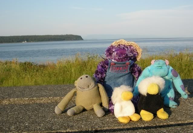
Here we are taking a photo with the southern tip of Quadra Island behind us, while on our way back to the hotel.
And now back to Calgary....again in the checked baggage...where we spent a long long time since the flight was more than 4 hours late, what an adventure
